CONTACT US
Write your doubts and comments

A coherent and integrated set of geo data and mapping modules / solutions that are used across all products. Designed for live, real-time data and historical analysis.

InMotion™GEO proven results and benefits include improved personnel safety and real-time tracking capabilities, immediate access to vital geographic information (hazards, routing instructions, street closures, etc.), and increased overall efficiency (dispatch to closest unit, setup of perimeter road blocks, supervisory tool, etc.).
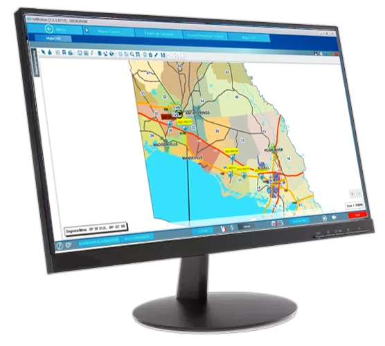
Based on the latest ESRI technology and uses ESRI data and associated files (e.g. aerial photographs, pictometry, etc.) to create the necessary displays and display content using the map data available within the agency.
– Able to combine map data with aerial photographs, pictometry, etc., plus online map sources.
– Contains all the mapping tools and functions expected including real-time routing instructions.
– Fully integrated into all InMotion™ products and product modules.

The In-Vehicle and Dispatch products combine graphical map display features with AVL/GPS capability in order to track and display in real time GPS equipped vehicle movements plus live CAD events. The Data Analysis tool provides the same map data as a backdrop for the display and query of application data, whether that data is CAD events, RMS report data and so on… the analysis can be basic plotting of information integrated in to existing map layers or make use of the advanced analytical analysis engine available to determine and even predict real trends in data.
YOUR FUTURE IS IN OUR CAPABLE HANDS
